

Home » Free Printables » Printable Maps » Kentucky
Printable Kentucky Map Collection
County Map - City Map - State Outline Map

Kentucky County Map with County Names

Map of Kentucky Cities with City Names
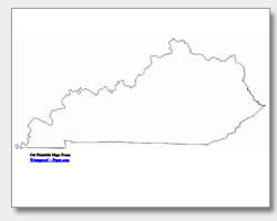
Kentucky State Outline Map
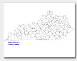
Blank Kentucky County Map
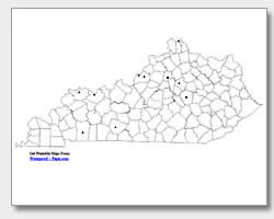
Blank Kentucky City Map
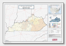
Kentucky Congressional District Map
(114th Congress)
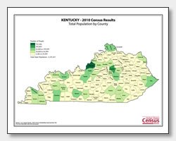
Kentucky County Population Map
(2010 Census)
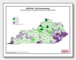
Kentucky County Population Change Map
(2000 to 2010 Census)
ADVERTISEMENT
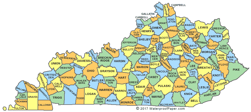
Click the map or the button above to print a colorful copy of our Kentucky County Map. Use it as a teaching/learning tool, as a desk reference, or an item on your bulletin board.
Looking for free maps of Kentucky for personal or educational use? Our maps are .pdf files that download and will print easily on almost any printer. These printable Kentucky maps include: a blank state outline map, two county maps of Kentucky (one with the printed county names and one without), and two city maps of Kentucky. One of the city maps has the major cities: Hopkinsville, Henderson, Owensboro, Bowling Green, Louisville, Jeffersontown, Covington, Lexington, Richmond, and the capital city of Frankfort. The other map has city location dots, and can be used by teachers for practice and quizzes.