

Home » Free Printables » Printable Maps » Nebraska
Printable Nebraska Map Collection
County Map - City Map - State Outline Map
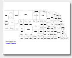
Nebraska County Map with County Names
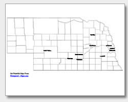
Map of Nebraska Cities with City Names
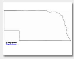
Nebraska State Outline Map
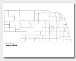
Blank Nebraska County Map
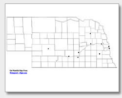
Blank Nebraska City Map
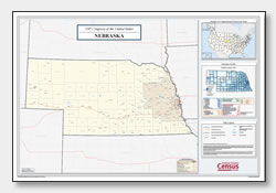
Nebraska Congressional District Map
(114th Congress)
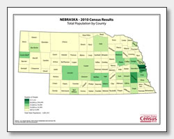
Nebraska County Population Map
(2010 Census)
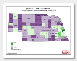
Nebraska County Population Change Map
(2000 to 2010 Census)
ADVERTISEMENT
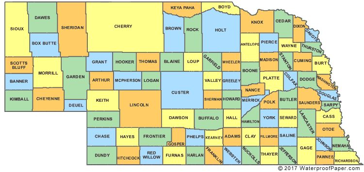
Click the map or the button above to print a colorful copy of our Nebraska County Map. Use it as a teaching/learning tool, as a desk reference, or an item on your bulletin board.
This collection of free printable Nebraska maps can be useful tools in the classroom. We offer several maps, which include: an outline map of Nebraska, two county maps (one with the county names and one without), and two major city maps. One of the city maps shows the location of: North Platte, Kearney, Grand Island, Hastings, Columbus, Norfolk, Fremont, Omaha, Bellevue and the capital, Lincoln. The other map has city location dots, which can be used by teachers for practice and quizzes. Download any or all of these maps! They are easy-to-print .pdf files that will work well on almost any printer.