

Home » Free Printables » Printable Maps » South Carolina
Printable South Carolina Map Collection
County Map - City Map - State Outline Map

South Carolina County Map with County Names
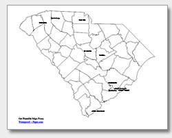
Map of South Carolina Cities with City Names
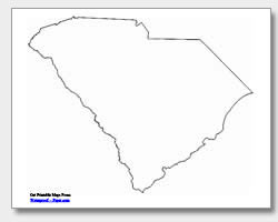
South Carolina State Outline Map
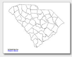
Blank South Carolina County Map
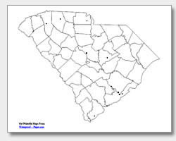
Blank South Carolina City Map
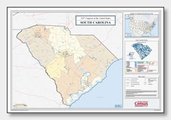
South Carolina Congressional District Map
(114th Congress)
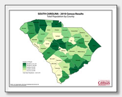
South Carolina County Population Map
(2010 Census)
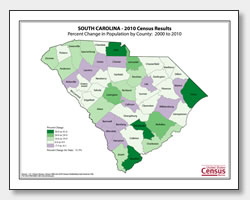
South Carolina County Population Change Map
(2000 to 2010 Census)
ADVERTISEMENT
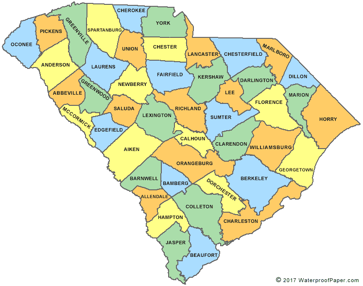
Click the map or the button above to print a colorful copy of our South Carolina County Map. Use it as a teaching/learning tool, as a desk reference, or an item on your bulletin board.
Get free printable South Carolina maps here! Our maps include: two county maps (one with the county names listed and the other without), an outline map of South Carolina, and two major city maps. One major city map lists the cities: Greenville, Spartanburg, Rock Hill, Sumter, Summerville, Charleston, North Charleston, Hilton Head Island, Mouth Pleasant and the capital, Columbia. The other map has city location dots, and is useful to teachers for practice and quizzes. The maps we offer are .pdf files which will easily download and work with almost any printer. You will find these maps to be great for reference, planning or teaching.